Elevate Your Insurance Program
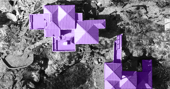
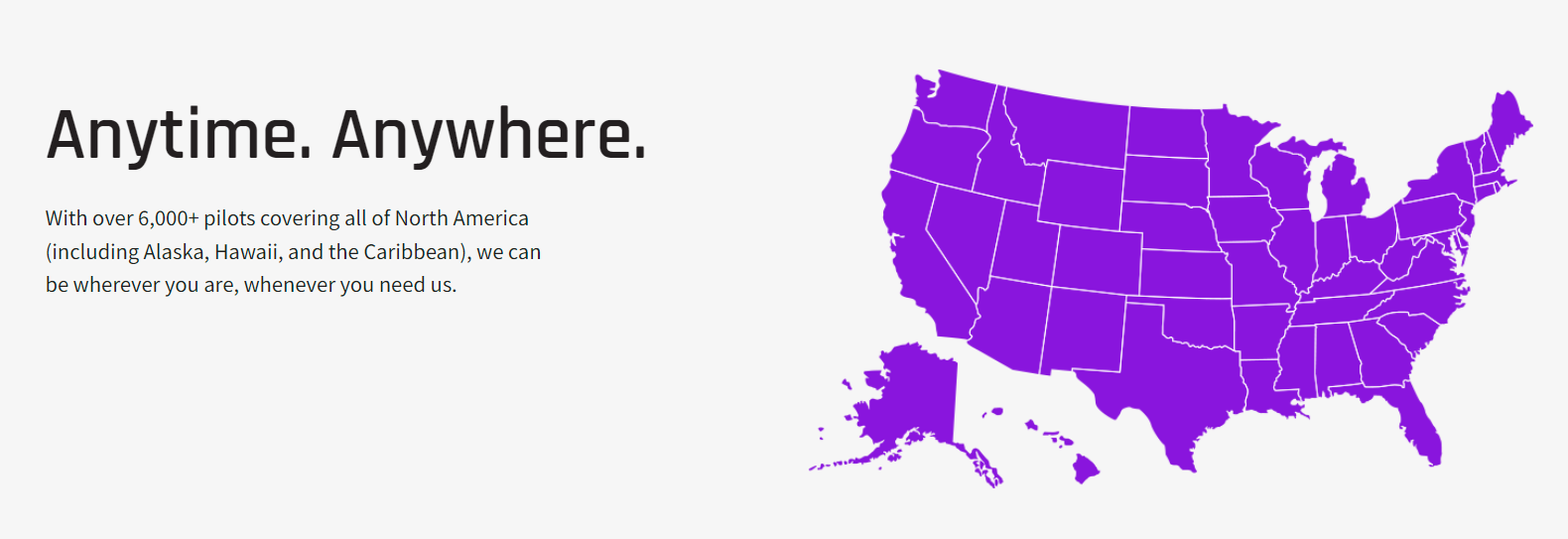
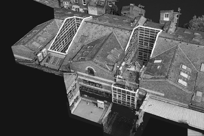
Lowers Drone Solutions simplifies the collection, analysis, and distribution of drone data for insurance professionals and business owners. Our mission is to help make the domestic business marketplace safer and more efficient using real-time data. We do this by combining the power of a 6,000+ pilot network with software that allows for greater visibility into the information provided by high-resolution, multi-output aerial imaging. This includes 3D, orthomosaic, LiDAR, and more.
Our team specializes in risk assessments and CPTED reporting for the Agriculture, Construction, Real Estate, Retail, and Utilities sectors. Brokers, underwriters, engineers, adjusters, and more also benefit from the collaborative environment at LDS, easy data accessibility, and our thorough risk management approach.
Using a Capture, Process, Model, and Measure process, our drone programs are fast, flexible, and cost-effective, helping you meet your compliance and business growth goals. The average turnaround time for a basic service is 96 hours.
The Lowers Difference
- Recognized insurance services solutions partner
- Decades of risk management and risk mitigation expertise
- FAA compliant and LPRC contributor
- Advanced UAV technology, camera, and 3D data modeling